Why in NEWS
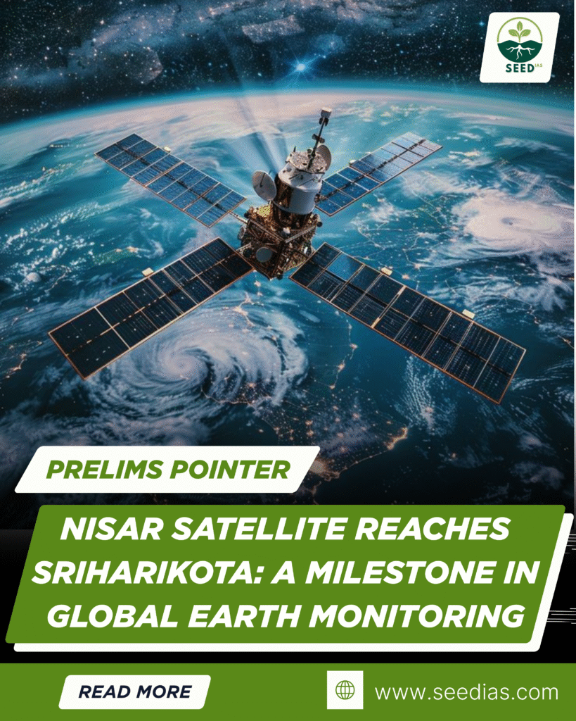
The NASA-ISRO SAR (NISAR) satellite has arrived at ISRO’s spaceport in Sriharikota for launch. This landmark Earth-observation mission will scan nearly all land and ice surfaces of the planet twice every 12 days, providing unparalleled data on environmental changes.
Key Concepts Simplified
| Term | Meaning |
|---|---|
| NISAR | NASA-ISRO Synthetic Aperture Radar satellite – a joint Earth-observation mission |
| SAR | Synthetic Aperture Radar – a radar-based imaging system that works day/night and in all weather |
| L-band Radar | Longer wavelength radar (from NASA) – better penetration through vegetation and ice |
| S-band Radar | Shorter wavelength radar (from ISRO) – suited for surface monitoring and soil moisture analysis |
About NISAR Mission
| Feature | Details |
|---|---|
| Partnership | NASA (USA) and ISRO (India) collaboration |
| Technology | First satellite to carry both L-band and S-band synthetic aperture radars |
| Launch Site | ISRO’s spaceport, Sriharikota |
| Orbit Coverage | Covers nearly all land and ice surfaces globally every 12 days |
| Significance | Provides high-resolution, all-weather, day-night Earth imagery for scientific and disaster applications |
How Synthetic Aperture Radar (SAR) Works
| Step | Process |
|---|---|
| 1 | SAR system sends microwave pulses to the Earth’s surface |
| 2 | The radar records the echo from the surface features |
| 3 | Satellite movement simulates a large antenna, increasing resolution |
| 4 | Data is processed to generate detailed images unaffected by cloud cover or light conditions |
Applications of SAR Technology
| Sector | Use Case |
|---|---|
| Environment | Mapping wetlands, tracking oil spills |
| Cryosphere | Monitoring glaciers, icebergs, and ice sheets in polar regions |
| Disaster Management | Detecting floods, landslides, terrain shifts before and after disasters |
| Agriculture & Forestry | Assessing crop health, measuring soil moisture, tracking deforestation |
In a Nutshell – Memory Code: “SCAN EARTH”
S – SAR tech for all-weather imaging
C – Cryosphere & climate monitoring
A – Agriculture insights
N – NASA-ISRO partnership
E – Environmental mapping
A – All-terrain, day-night coverage
R – Radar combo (L-band + S-band)
T – Terrain change detection
H – High-resolution global scans
Prelims Practice Questions
- NISAR is a collaborative satellite mission between:
A. NASA and ESA
B. ISRO and JAXA
C. NASA and ISRO
D. ISRO and CNES - What is a key advantage of Synthetic Aperture Radar (SAR)?
A. Requires sunlight to function
B. Cannot work during rains
C. Operates in all weather and lighting conditions
D. Limited to desert terrain - Which radar bands are used in the NISAR satellite?
A. X-band and C-band
B. L-band and S-band
C. K-band and L-band
D. C-band and X-band
Answer Key with Explanation
| Qn | Answer | Explanation |
|---|---|---|
| 1 | C | NISAR is jointly developed by NASA and ISRO |
| 2 | C | SAR works independently of light and weather conditions |
| 3 | B | NISAR uses L-band radar (NASA) and S-band radar (ISRO) for dual-frequency imaging |